

Incendies de forêt en Ontario :
état des lieux 2023
Par Andréanne Joly


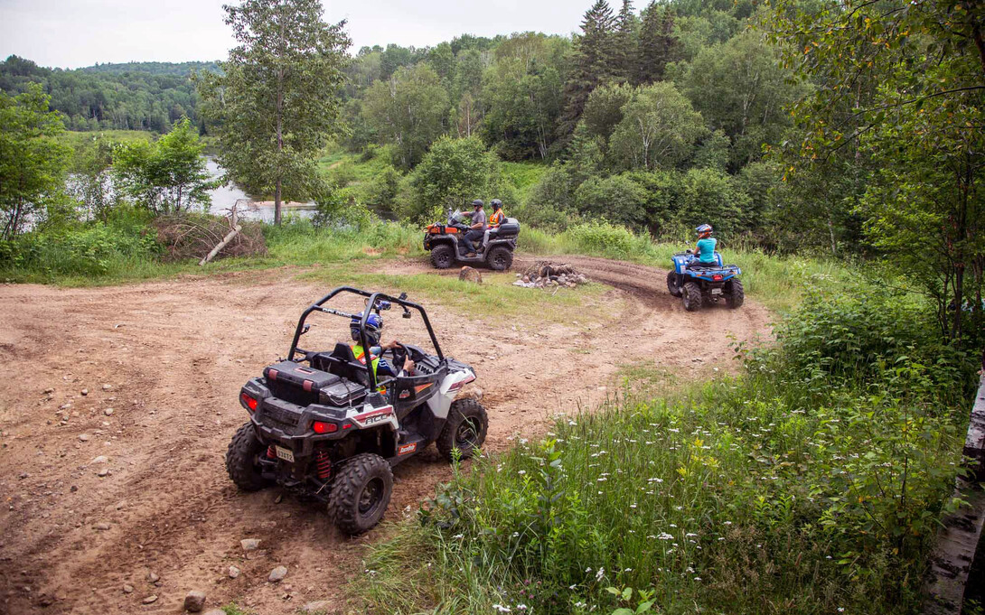

The Ontario Federation of All-Terrain Vehicles (OFATV) is made up of a bunch of amazing ATV clubs in Ontario. The OFATV now has 18 member clubs, with several other irons in the fire just waiting to pop onto the Ontario ATVing landscape. The addition of new clubs means new trails and new members, while current clubs continue trail expansion and connectivity in their areas too.
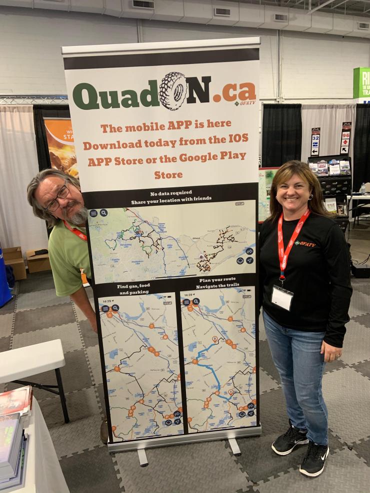
So it should come as no surprise that the association's QuadOn app has grown in popularity, too. The QuadOn map & navigation app for Android and IOS users is an essential app for any ATV rider in Ontario. Download the QuadOn app now and know which OFATV trails are open so you can “know before you go!”
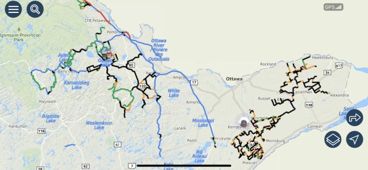
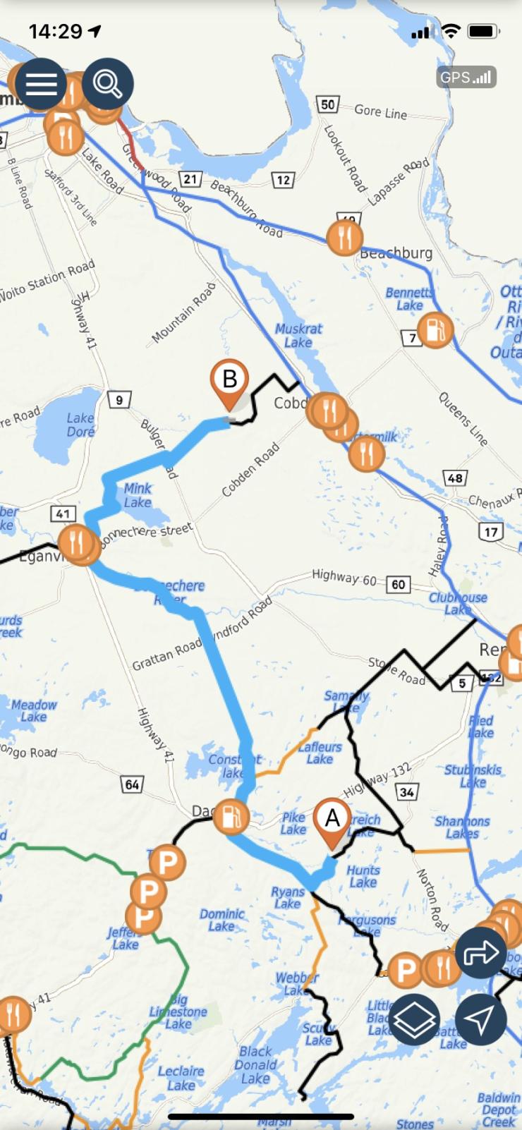
The QuadOn App makes for a better riding experience than ever. Working both with and without cell coverage, you can enjoy the app’s functionalities no matter where you are on OFATV trails.
Features include:
• Enhanced zoom
• Pick out zones you wish to download to have available while offline
• Select friends you’d like to share your location with, so you can see each other live on the map while out riding separately, together, or on either ends of a group
While on OFATV trails without cell coverage, you’re able to:
• See your location on the map through your phone’s GPS signal
• View nearby restaurants, gas stations, hotels, parking lots, and other services
• Access the trails condition as per the last data connection available
• See the distance between you and a specific point
While online (or in cell coverage), you’ll receive updates to trail status (closed/open) for the best riding experience, and can easily meet with friends by sharing your position with each other, as well as plan out routes and itineraries to share with your group.
The QuadOn app is a great bang for your buck. For the cost of two large coffees per year, you can keep the trails at your fingertips on your mobile device! A mobile app is not everyone’s cup of tea (pun intended); it is a low-impact method to get trails into people’s hands without the investment of a GPS unit, GPS map chip, or carrying a paper map. Those uninterested in a mobile app can rest assured, the regular methods of navigating the trails still exist—paper maps from your local club, signage on the trails, and OFATV trails are available for purchase for your Garmin GPS Unit from Backroads MapBooks.
Regardless of what you use to navigate the OFATV trails, get out there and ride, ’cause my worst day of ATVing is still better than my best day of work!


